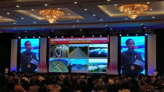
President Joko “Jokowi” Widodo launched the Geoportal One Map Policy (KSP Geoportal) on Tuesday as a national information portal to serve as a point of reference for planning land use by all government institutions and the general public.
Jokowi said he expected the one-map policy to address the issue of overlapping land claims in the country. “In our country, there is too much overlap in land use planning. The problem occurs anywhere,” the President said when introducing the policy.
To underline his point, he explained that in Kalimantan alone, 19.3 percent or 10.4 million hectares of the island’s 53.98 million ha of land were subject to overlapping land utilisation plans.
Under the one-map policy, the government could identify plots of land with overlapping utilisation plans, Jokowi said, adding that with the data in the Geoportal One Map Policy, the government could immediately resolve the problem.
Jokowi instructed the ministries and other government institutions to immediately take action to resolve any overlap in land utilisation planning by using data from the geoportal.
With the one-map policy, the government has integrated 83 thematic maps. Two thematic maps have not yet been integrated, namely the National Sea Spatial Plan Map (RTRLN), which is being produced, and the subdistrict and village border map. The two were in the process of integration.
The President stressed that the geoportal is the reference for all institutions and the public to learn about land use planning.
There are three main activities under the one-map policy – compilation and collection of thematic maps; integration and correction of thematic maps based on basic map; and synchronization and solving overlapping thematic maps.
The integrated thematic maps have been entered into the KSP Geoportal at http://portalksp.ina-sdi.or.id.
“With this policy, development can be more accurately planned, not only based on data, but also based on the map,” said, the President, adding that the ministries, government institutions and regional administrations had to start using the integrated thematic maps as the main point of reference for implementing development policies.
Source: Jakarta Post
Photo: Danang Triatmojo/Tribunnews.com


